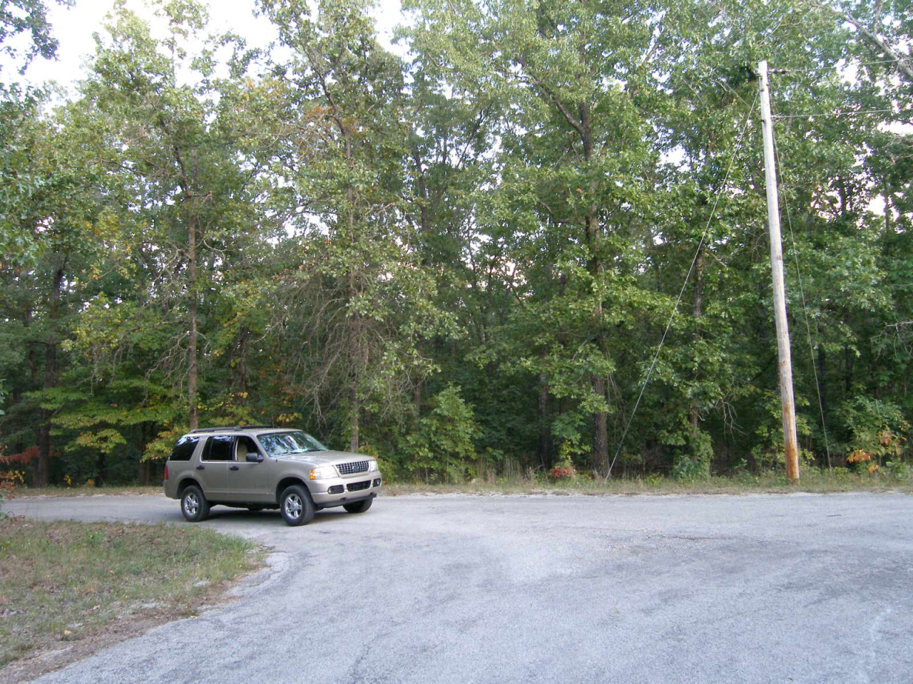
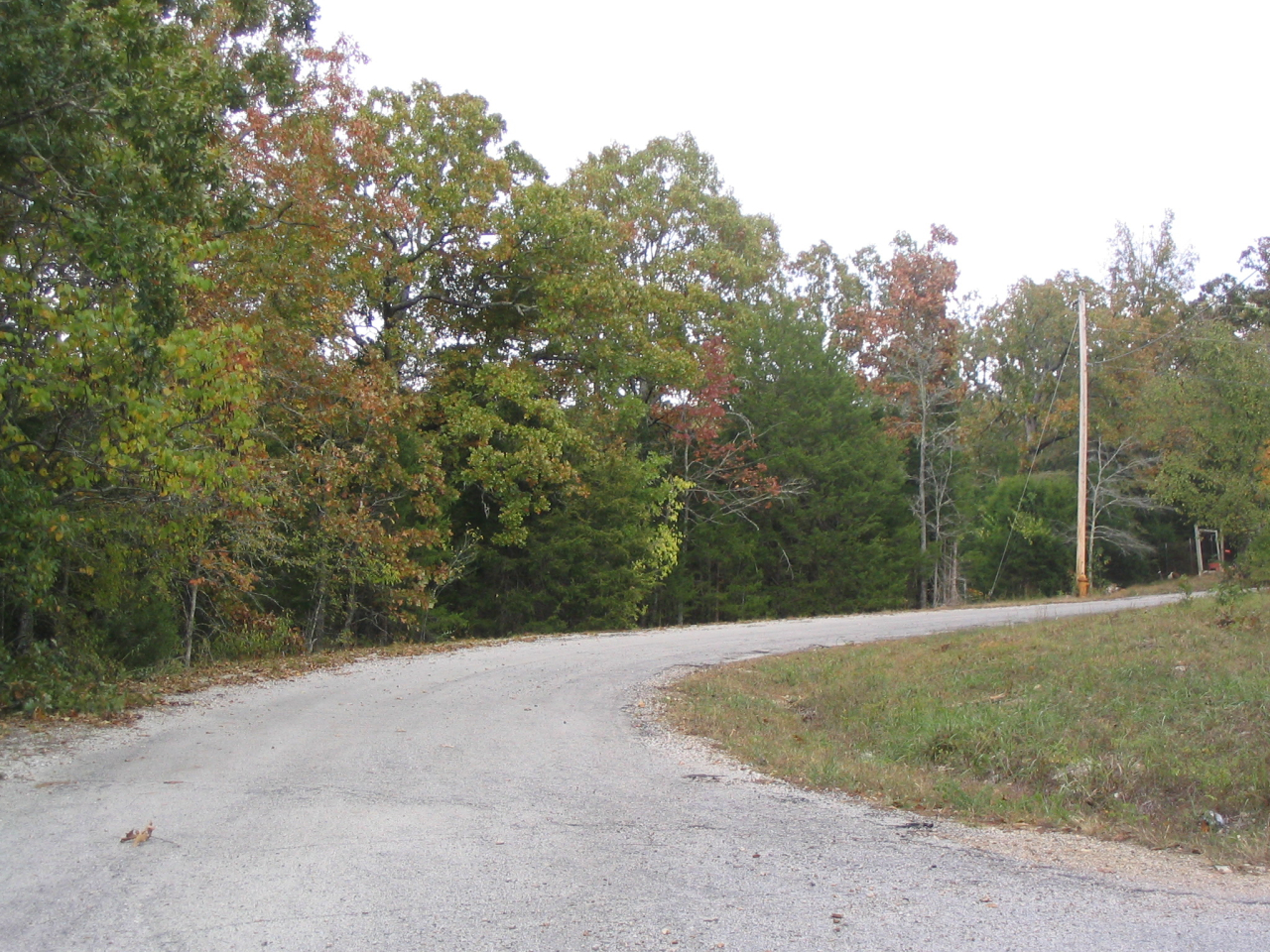
- Property Types: Land, Residential
- State: Arkansas
- County: Sharp County
- City: Ash Flat
- Price: $750
- Total Acreage: 0.3
- Property ID: ark 25% off sale
- Property Address: various, Ash Flat, AR
- APN: varies
- GPS: 36.290274952338, -91.50616801883
- Seller Fees: 90
25% off thru Feb. 28
25% off Sharp County Arkansas
pricing starts at $625
Owner financing available
take 25% off any of the parcels listed below
follow this link for a table format
or Follow this link for our listings (sortable) on landresellers.com
Area APN# Size in feet ' (rounded off). Location (pic link) Notes * Location * GPS $$$$ yearly taxes approx. SID fees yearly approx. water etc.
CV 206-00054-000 25' x120/' Fourth B-4 L-24 Sac Drive. mobiles, modulars Pontiac & Racoon $750 $20 none
CV 244-00283-000 info coming Choctaw 3rd B-17 L-5 Caxambas Dr. GPS: 36.269477, -91.535918 5500 $20 $150
CV 244-00447-000 140' x 95' Choctaw 3rd B-21 L-27 Micanoty Dr. GPS: 36.264306, -91.538148 7900 $20 $152
CV
244-00293-000 76'x108'x105'x108' Choctaw 3rd B-17 L-15 Menominee Dr. GPS: 36.269308, -91.534509 6900 $20 $150
CV 244-00272-000 140'x203'x261'x24' Choctaw 3rd B-16 L-13 Immokalee & Choco Trace. corner lot GPS: 36.269602, -91.537893 7900 $20 $150
CV 274-00716-000 80x90'x85'x42'x180 Navajo 3rd B-14 L-2 Meca Dr. GPS: 36.277601, -91.550424 5900 $20 $128
CV 274-00722-000 65'x95'x88'x119'x98' Navajo 3rd B-14 L-8 W. Meca Circle . end of cul-de-sac. GPS: 36.276707, -91.551157 5900 $20 $125
CV 274-00128-000 73'x194'x80'x172' Navajo 1st B-2 L-59 Saskatchewan Dr. GPS: 36.268826, -91.552739 7500 $20 $130
CV 274-00387-000 86'x197'x70'x195' Navajo 2nd B-7 L-7 Mena Dr. GPS: 36.277672, -91.542029 7000 $20 $130
CV 274-00539-000 97'x 216'x55'x205' Navajo 3rd B-10 L-3 Iuka Dr. GPS: 36.273090, -91.545691 5000 $20 $135
CV 274-00180-000 57'x251x90'x242' Navajo 1st B-3 L-13 Columbia Dr. GPS: 36.269420, -91.548985 8500 $20 $122
CV 300-00391-000 75' x 165' Seminole 2nd B-13 L-26 Moonbeam Tr. GPS 36.282588, -91.534831 7400 $20 $128
CV 302-00195-000 80' x 169'x75'165' Seneca 2nd B-8 L-1 W. Waketa Dr. near Merrimac GPS: 36.281834, -91.547023 6500 $20 $129
CV 302-00040-000 75' x 155'x98'x145' Seneca 1st B-2 L-9 Zabel Circle GPS: 36.280581, -91.535194 6500 $20 $128
CV 302-00023-000 77'rf x 170' Seneca 1st B-1 L-23 Odessa Circle GPS: 36.280436, -91.534015 6500 $20 $128
HV 350-00035-000 30'x110' 5th add. Hidden Valley L-35 Sarah lane GPS: 36.283938 , -91.522089 2000 $8 none
HI 360-00042-000 70' x150' Highland B-3 L-8 Ridgecrest Drive GPS: 36.266208 , -91530240 5500 $8 none
OH 368-00161-000 30' x 110' Oak Hill B-5 L-13 Northwood Dr. GPS: 36.284006 , -91.527220 975 $8 none
RO 382-00049-000 60' x 150' Red Oak B-2 L-11 Red Oak dr. GPS: 36.278568 , -91.526969 3000 $8 none
RO 382-00050-000 130x49'x150'x 70' Red Oak B-2 L-12 Red Oak dr. Corner lot GPS: 36.278837 , -91.526720 ^ 3500 both for $6000 $8 none
SG 388-00146-000 30' x 110' Shady Grove B-4 L-19 Adam Drive perfect for mobiles, modulars, RVs GPS: 36.273686 , -91.531372 1000 $8 none
SG 388-00077-000 30' x 110' Shady Grove B-2 L-34 Adam Drive perfect for mobiles, modulars, RVs GPS; 36.274270 , -91.532800 1000 $8 none
SG 392-00055-000 30'x 55' Shady Grove Third S1/2 L-7 Block-2 Adam Drive perfect for mobiles, modulars, RVs GPS: 36.270047 , -91.532371 1200 $8 none
SW 400-00149-000 50'x 110' Southwest B-4 L-20 Adam Drive GPS: 36.275973 , -91.531525 1000 $8 none
SW 400-00166-000 50' x 110 Southwest B-4 L-37 Adam Drive GPS: 36.276058 , -91.531882 975 $6 none
SW 400-00348-000 50' x 110 Southwest B-9 L-4 Adam Drive GPS: 36.277107 , -91.529783 1000 $6 none
WP 416-00061-000 70' x 150' Wild Plum B-3 L-11 Ridgecrest drive GPS: 36.273693 , -91.527739 3900 SOLD $12 none
OZ 444-00084-000 103'x206'x58'x171' East Lake Shore B5 L-1 East Lakeshore Drive GPS: 36.301461 , -91.392409 6000 $145 $138
FR 446-00101-000 50'x100' Frontier B- 4 L-3 Homestead Lane GPS: 36.306454 , -91.373847 1000 $7 none
MU 466-00071-000 50'125' Mustang B-5 L-8 Palomino Dr. GPS: 36.309830 , -91.394145 dead end road 1750 $7 none
MU 466-00156-000 50'x125' Mustang B-9 L-14 West Hill Dr. GPS: 36.307899 , -91.396651 2500
$7
none
PI 476-00299-000 50'x125' Pioneer B-13 L-10 Oriole Dr. GPS: 36.307216 , -91.380328 SOLD $7 none
PI 476-00341-000 50'x125 Pioneer B-14 -17 next to 35 Pheasant Drive GPS: 36.306441 , -91.379499 $9000 $7 none
PI 476-00342-000 50'x125 Pioneer B-14 L-18 35 Pheasant Drive old shed GPS: 36..306456 , -91.379160 ^^ Both ^ $19 none
PI 476-00373-000 50 x 125' Pioneer B-16 L-8 Cardinal Hill Dr. GPS: 36.305645 , -91.380902 (power at road) 4500 $7 none
SU 498-00080-000 75'x 150 Summit B-7 L-7 Glen Oak Trail GPS: 36.299791 , -91.384895 3250 $134 $126
VV 504-00114-000 50' x 125' Valley View B-6 L-15 Pony Express GPS: 36.310416 , -91.400619 N of Ozark Acres E. of Hardy 1750 $7 none
WH 760-53233-000 52'x102'x30'x100' Hartshill B-2 L-1 Corner lot CR180. GPS: 36.346936 , -91.450807 NE of Hardy 1000 $8 none
WH 760-54099-268 98'x170'x68'x188' Locksley B-9 L-4 Sherwood Forest Lane GPS: 36.325127 , -91.481285 (near Hardy) 3000 $20 none